Coral Sea
Marginal sea of the South Pacific, site of the Great Barrier Reef.

Diego Delso · CC BY-SA 4.0
The Coral Sea is a marginal sea of the South Pacific off the northeast coast of Australia, classified as an interim Australian bioregion. It extends 2,000 kilometres (1,200 mi) down the Australian north-east coast to latitude 30° south. Most of it is protected by the French Natural Park of the Coral Sea and the Australian Coral Sea Marine Park. The sea was the location for the Battle of the Coral Sea, a major confrontation during World War II between the navies of the Empire of Japan, and the United States and Australia. The sea contains numerous islands and reefs, as well as the world's largest reef system, the Great Barrier Reef, which was declared a World Heritage Site by UNESCO in 1981.
- Borders
- West: Queensland coast; East: Vanuatu and New Caledonia; Northeast: Solomon Isla
Verified Timeline
Lore & Background
The Coral Sea basin formed between 58 million and 48 million years ago when the Queensland continental shelf was uplifted, forming the Great Dividing Range, and continental blocks subsided at the same time. The sea has been an important source of coral for the Great Barrier Reef, both during its formation and after sea level lowering. Geological formation processes are still proceeding, as partly evidenced by seismic activity. Several hundred earthquakes with magnitude between 2 and 6 were recorded in the period 1866–2000 along the Queensland coast and in the Coral Sea. On 2 April 2007, the Solomon Islands were struck by a major earthquake followed by a several metres tall tsunami. The hypocenter of this magnitude Mw 8.1 earthquake was 349 km (217 mi) northwest of Honiara, at a depth of 10 kilometres (6.2 mi). It was followed by more than 44 aftershocks of a magnitude 5.0 or greater. The resulting tsunami killed at least 52 people and destroyed more than 900 homes.
Reader's Guide
The Coral Sea is significant for its ecological and historical importance. It contains the world's largest reef system, the Great Barrier Reef, which extends about 2,000 km (1,200 mi) along the northeast coast of Australia and includes approximately 2,900 individual reefs and 1,000 islands. All previous oil exploration projects were terminated at the GBR in 1975, and fishing is restricted in many areas. The reefs and islands are particularly rich in birds and aquatic life and are a popular tourist destination, both domestically and internationally. The sea was the site of the Battle of the Coral Sea in May 1942, a major confrontation between Allied and Imperial Japanese naval units that prevented the Japanese sea-borne invasion of Port Moresby. Major Coral Sea currents form a counter-clockwise gyre which includes the East Australian Current, bringing warm nutrient-poor waters from the Coral Sea down the east coast of Australia to the cool waters of the Tasman Sea. The major river flowing into the sea is the Burdekin River, which has its delta southeast of Townsville. Its annual discharge can vary more than 10 times between two succeeding years, resulting in fluctuations of seawater composition near the river delta. The sea's name derives from its numerous coral formations, including the Chesterfield Islands and Lihou Reef as the largest atolls of the Coral Sea.
Did You Know?
- The Coral Sea extends 2,000 kilometres (1,200 mi) down the Australian north-east coast to latitude 30° south.
- The Great Barrier Reef includes approximately 2,900 individual reefs and 1,000 islands.
- All oil exploration projects at the Great Barrier Reef were terminated in 1975.
- On 2 April 2007, a magnitude Mw 8.1 earthquake struck the Solomon Islands, followed by a tsunami that killed at least 52 people.
- The Burdekin River's annual discharge can vary more than 10 times between two succeeding years.
Geography & Extent
The Coral Sea stretches roughly two thousand kilometres along Australia's northeastern shoreline, reaching as far south as the thirtieth parallel. As a marginal sea of the South Pacific, it occupies a distinctive position where several major waterways converge: it blends into the Tasman Sea to the south, the Solomon Sea to the north, and the open Pacific to the east, while linking with the Arafura Sea through the Torres Strait in the northwest. Its western edge is defined by Queensland's mainland coast, the eastern boundary runs along Vanuatu and New Caledonia, and the northeastern limit sits near the southern reaches of the Solomon Islands. The northwest boundary encompasses the Gulf of Papua along New Guinea's southern coast. The climate is warm and humid, regularly punctuated by heavy rainfall and tropical cyclones. Politically, the waters are divided: the Great Barrier Reef's islands and cays fall under Queensland's jurisdiction, while most reefs and islets further east belong to the Coral Sea Islands Territory. Even some New Caledonian features, such as the Chesterfield Islands and Bellona Reefs, are counted geographically within the sea's domain.
Geology & Formation
The deep basin that makes up the Coral Sea took shape between fifty-eight and forty-eight million years ago, a period when the Queensland continental shelf was thrust upward to create the Great Dividing Range while adjacent continental blocks sank. This same geological process supplied the raw coral material that would eventually build the Great Barrier Reef, both during its initial construction and in later periods of lowered sea level. The region remains geologically active, though modestly: between 1866 and 2000, several hundred earthquakes of magnitude two to six were recorded along the Queensland coast and within the sea itself, a level of activity far below what is seen to the east or north. Most of the seabed is now considered tectonically quiet, with sedimentation as the dominant ongoing process. A stark exception came on 2 April 2007, when a magnitude 8.1 earthquake struck 349 kilometres northwest of Honiara at a depth of ten kilometres, triggering more than forty-four aftershocks of magnitude five or greater and a tsunami several metres high that killed at least fifty-two people and destroyed over nine hundred homes in the Solomon Islands.
Biodiversity & Conservation
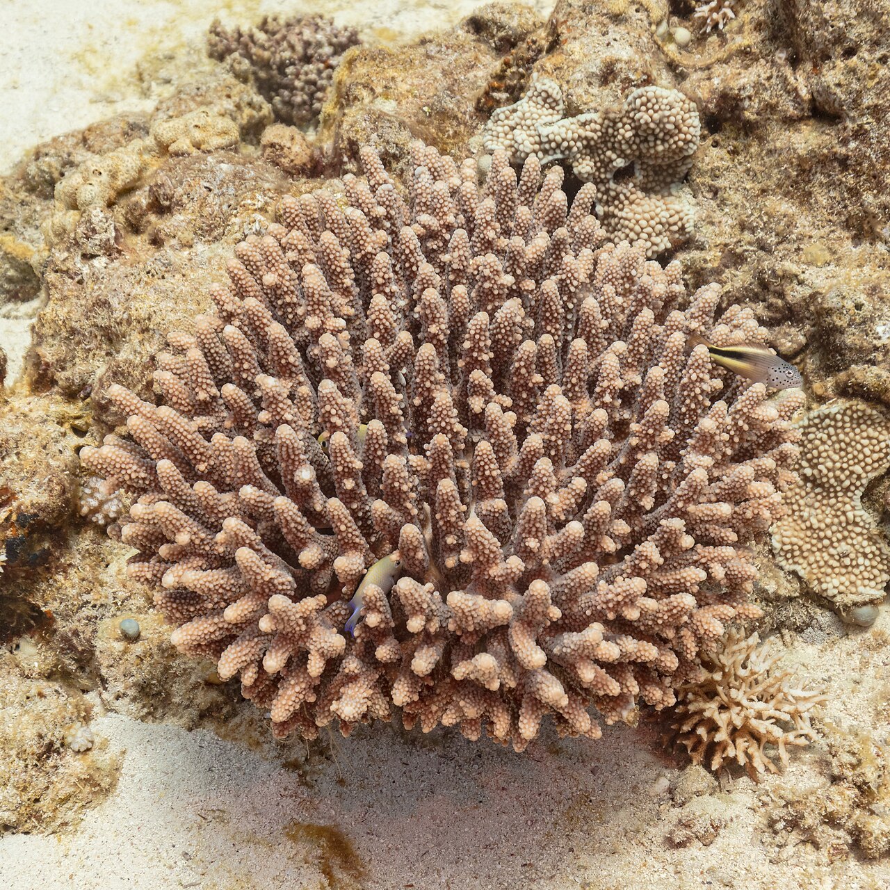
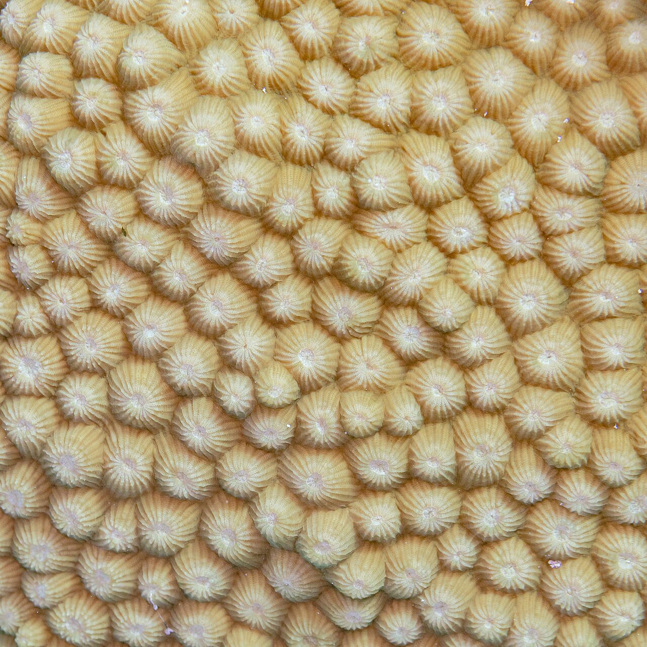
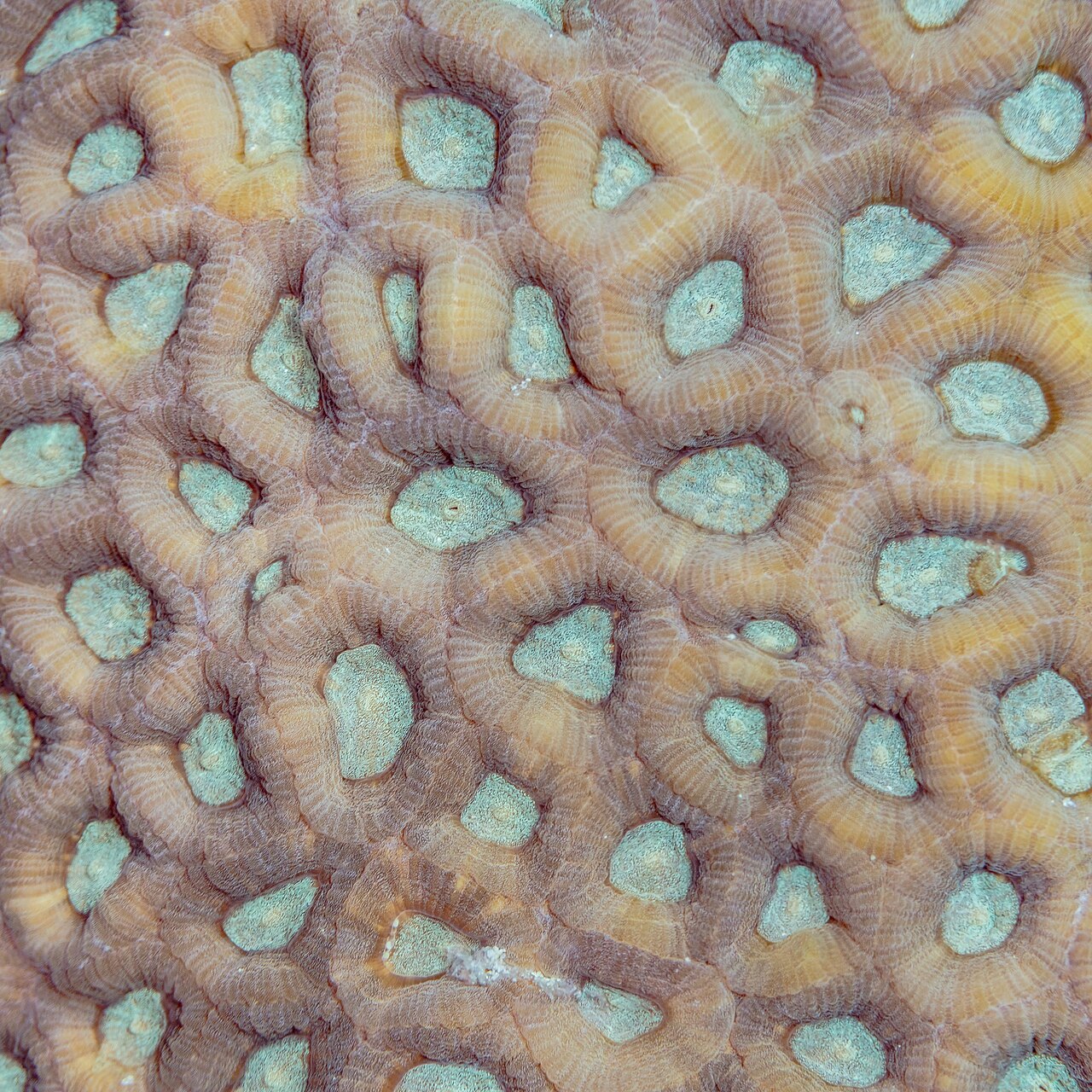
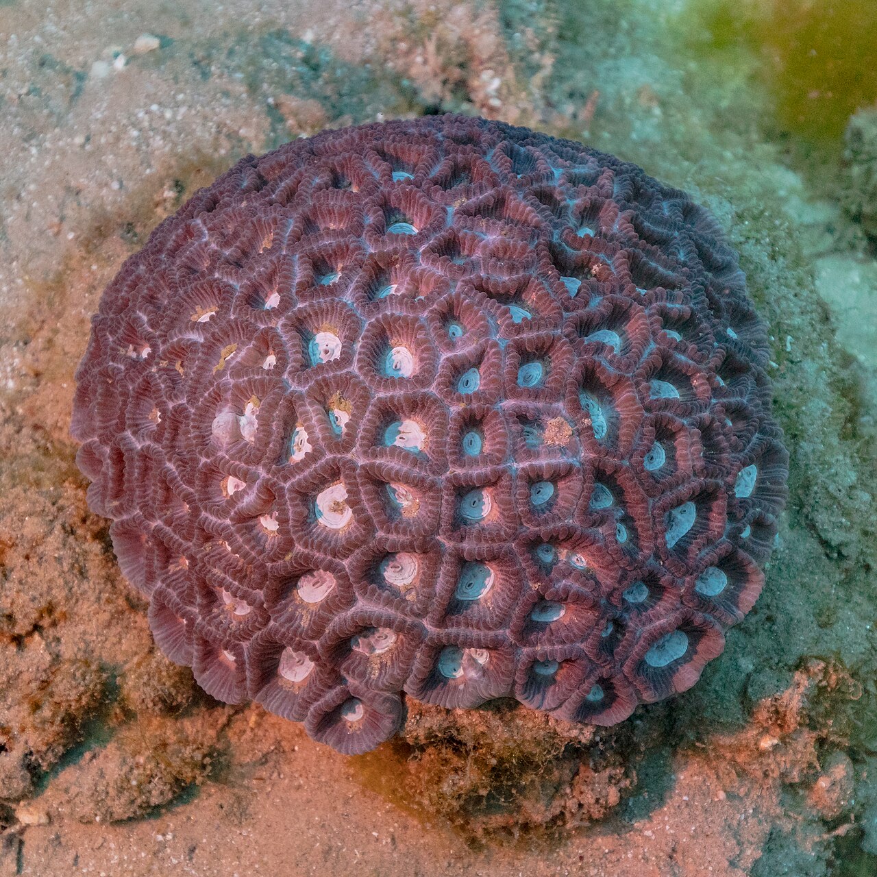
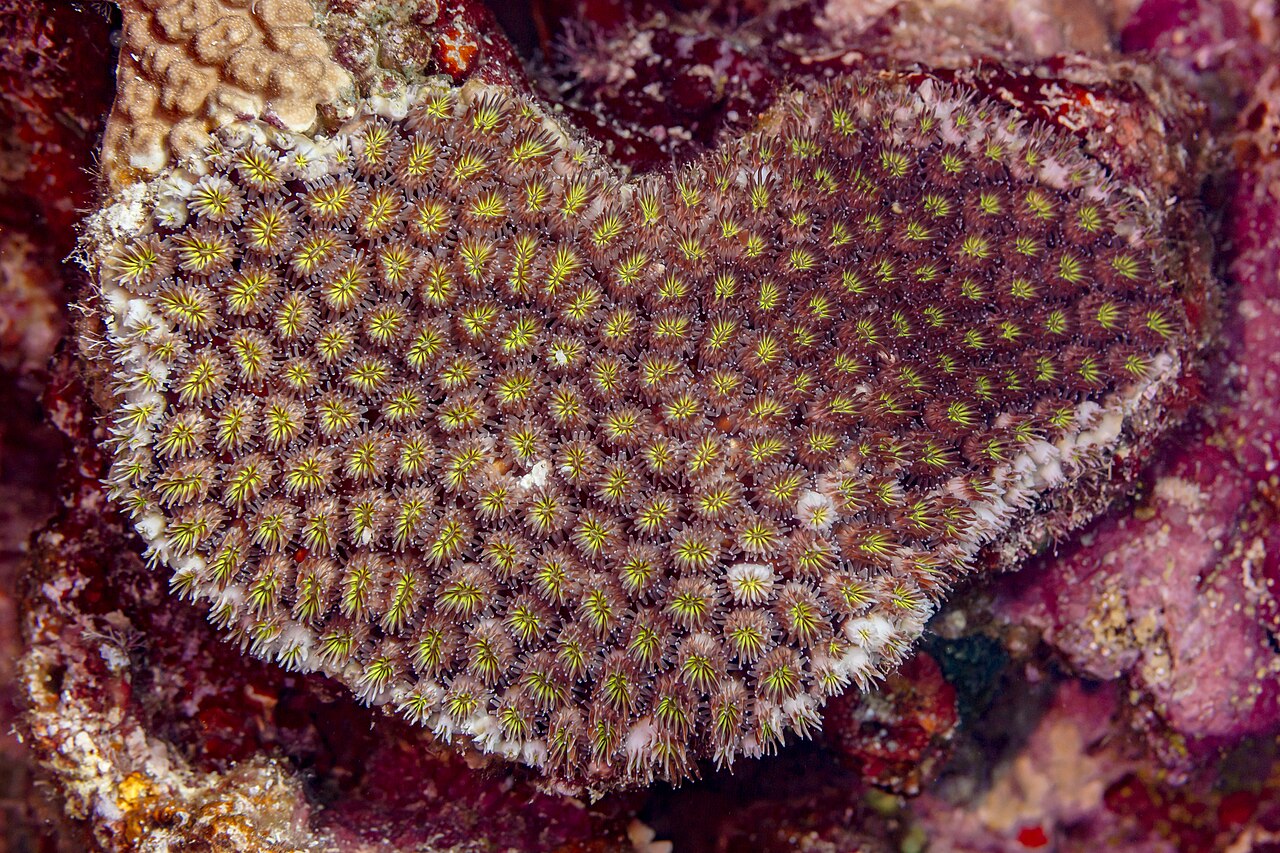
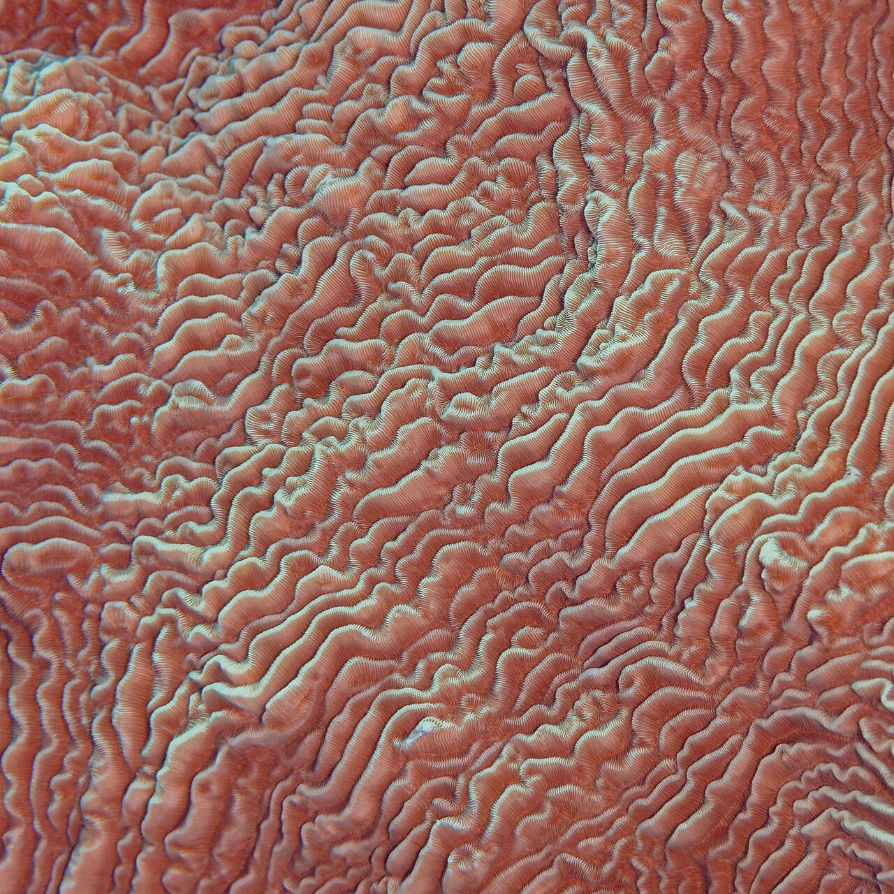
The very name of this sea reflects its most striking feature: an extraordinary density of coral formations, islands, and reefs scattered across its waters. The crown jewel is the Great Barrier Reef, the largest reef system on Earth, stretching approximately two thousand kilometres and comprising around 2,900 individual reefs and one thousand islands. In 1981, UNESCO recognized its outstanding universal value by inscribing it as a World Heritage Site. The Chesterfield Islands and Lihou Reef stand out as the largest atolls within the sea. The reefs and surrounding islands harbour exceptionally rich communities of seabirds and marine life, drawing tourists from Australia and around the world. Protection has been a priority: the waters are largely shielded by the French Natural Park of the Coral Sea and the Australian Coral Sea Marine Park. All oil exploration projects at the Great Barrier Reef were terminated in 1975, and fishing is restricted across many zones, underscoring a long-standing commitment to preserving this fragile ecosystem from industrial exploitation.
Historical Significance & Identity
Beyond its natural wonders, the Coral Sea carries a heavy historical weight. During the Second World War, it became the stage for one of the conflict's most consequential naval confrontations: the Battle of the Coral Sea, in which the fleets of the Empire of Japan clashed with the combined forces of the United States and Australia. That engagement marked a pivotal moment in the Pacific theatre, shaping the course of the war in the region. In peacetime, the sea has been classified as an interim Australian bioregion, a designation that reflects its ecological distinctiveness and the administrative frameworks governing its management. The name itself is a direct reference to the countless coral structures that dot the seafloor, a reminder that the sea's identity has always been inseparable from the living architecture beneath its surface. From wartime strategy to modern conservation policy, the Coral Sea has served as a space where human ambition meets the limits of the natural world.
Gallery
Frequently Asked Questions
Who is Coral Sea?
Coral Sea is a marginal sea in the South Pacific that stretches along Australia's northeast coastline. It extends roughly 2,000 kilometres before transitioning into the Tasman Sea around 30° south latitude.
What are Coral Sea's powers/role?
It serves as the natural habitat for the Great Barrier Reef and is classified as an interim Australian bioregion. The waters are safeguarded by the Australian Coral Sea Marine Park, making it one of the most heavily protected marine zones on the planet.
How does Coral Sea's story end?
Its most pivotal narrative arc unfolded during World War II, when it became the stage for the Battle of the Coral Sea. That confrontation pitted Japanese naval forces against the combined fleets of the United States and Australia.
Why is Coral Sea important?
It anchors the Great Barrier Reef ecosystem and supports extraordinary marine biodiversity across its waters. Strategically, it sits at the crossroads of several Pacific island nations, including Vanuatu, New Caledonia, and the Solomon Islands.
Where does Coral Sea meet other seas?
To the south it blends into the Tasman Sea at roughly 30° south, while its western edge hugs the Queensland coast. Its broader boundaries touch New Guinea to the northwest, Vanuatu and New Caledonia to the east, and the Solomon Islands to the northeast.
More in Rivers And Seas Of The World 25-27
Elsewhere in the Rivers And Seas Of The World universe
Spotted an error? Know more?
This is a living reference — every entry is fact-audited, and reader corrections feed straight into our audit queue. Suggest an edit · See this site's audit record