Columbia River
Largest river in the Pacific Northwest, vital for culture and economy.

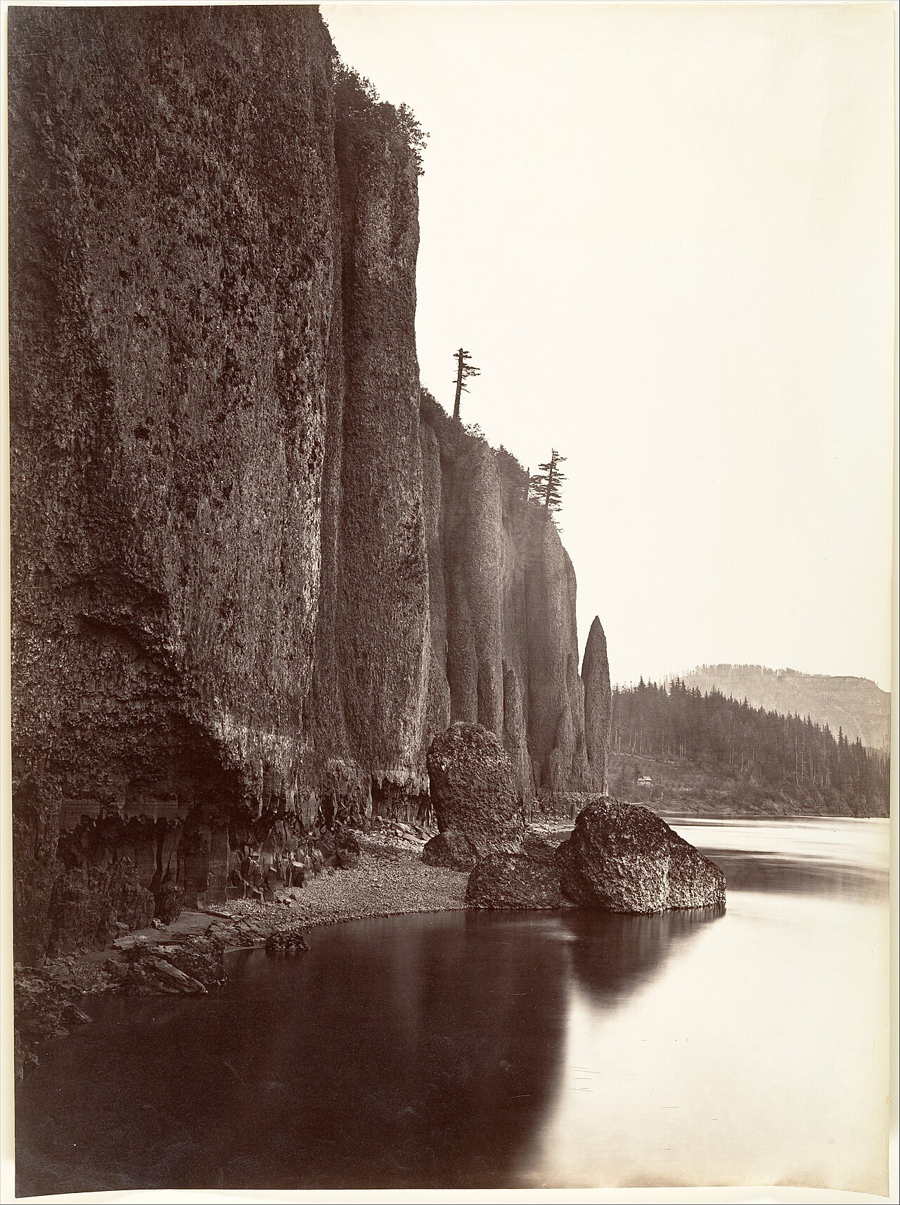
Carleton Watkins · CC0
The Columbia River is the largest river in the Pacific Northwest region of North America. It originates in the Rocky Mountains of British Columbia, Canada, and flows 1,243 miles (2,000 kilometers) before emptying into the Pacific Ocean, forming most of the border between Washington and Oregon. The river has been central to the region's culture and economy for thousands of years, supporting native peoples with anadromous fish, and later serving as a key transportation route for fur traders, explorers, and settlers.
- length
- 1,243 miles (2,000 km)
- drainage_basin_area
- about 258,000 mi² (670,000 km²)
- average_discharge_at_mouth
- about 265,000 cu ft/s (7,500 m³/s)
- largest_tributary
- Snake River
- first_documented_European_discovery
- 1775 by Spanish explorer Bruno de Heceta
- first_non_indigenous_vessel_to_enter
- May 11, 1792, under Captain Robert Gray aboard Columbia Rediviva
Lore & Background
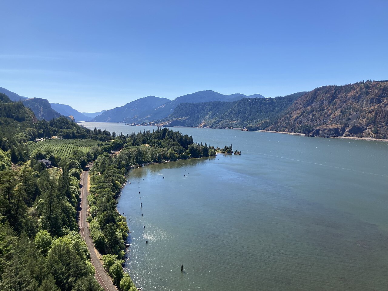
The Columbia River begins in the southern Rocky Mountain Trench in British Columbia, at Columbia Lake 2,690 feet above sea level. It flows northwest through the Columbia Valley, then turns sharply south around the Selkirk Mountains, passing through Revelstoke Lake and the Arrow Lakes. After receiving the Pend Oreille River near the Canada–United States border, it enters eastern Washington, flowing south and west in a C-shaped segment known as the 'Big Bend.' During the Missoula Floods 10–15,000 years ago, floodwaters carved the Grand Coulee, later impounded by Grand Coulee Dam to form Lake Roosevelt and Banks Lake. The river then passes the Hanford Nuclear Reservation, where the Hanford Reach remains the only free-flowing, undammed stretch in the U.S., before joining the Snake and Yakima rivers at the Tri-Cities. It turns west at the Washington–Oregon border, cutting through the Cascade Range via the Columbia River Gorge, and empties into the Pacific Ocean west of Astoria, Oregon, over the hazardous Columbia Bar.
Reader's Guide
The Columbia River has been a lifeline for thousands of years, providing subsistence through anadromous fish like salmon for native peoples. Its discovery by Europeans began in 1775 when Bruno de Heceta sighted its mouth, followed by Captain Robert Gray's entry in 1792 and William Robert Broughton's navigation upriver. Fur-trading companies later used the river as a key transportation route, and overland explorers entered the Willamette Valley through the Columbia River Gorge. Steamships and railroads further linked communities and facilitated trade. Since the late 19th century, extensive development has included locks, dredging, and 14 hydroelectric dams on the main stem, producing over 44 percent of U.S. hydroelectric generation. The Hanford Site produced plutonium for nuclear weapons, leaving it the most contaminated nuclear site in the U.S. These developments have greatly altered river environments through industrial pollution and barriers to fish migration. The river's drainage basin covers about 258,000 square miles, roughly the size of France, and its average flow of 265,000 cubic feet per second makes it the largest river by discharge into the eastern Pacific.
Did You Know?
- The Columbia River has the greatest flow of any river into the eastern Pacific.
- The Hanford Reach is the only U.S. stretch of the river that is completely free-flowing, unimpeded by dams, and not a tidal estuary.
- The river's mouth, the Columbia Bar, is one of the most hazardous stretches of water to navigate in the world, earning the reputation 'Graveyard of Ships'.
- The 14 hydroelectric dams on the Columbia's main stem produce more than 44 percent of total U.S. hydroelectric generation.
- The highest recorded flow at The Dalles was 1,240,000 cu ft/s (35,000 m³/s) in June 1894, before the river was dammed.
A Continental Waterway Forged by Ice and Time
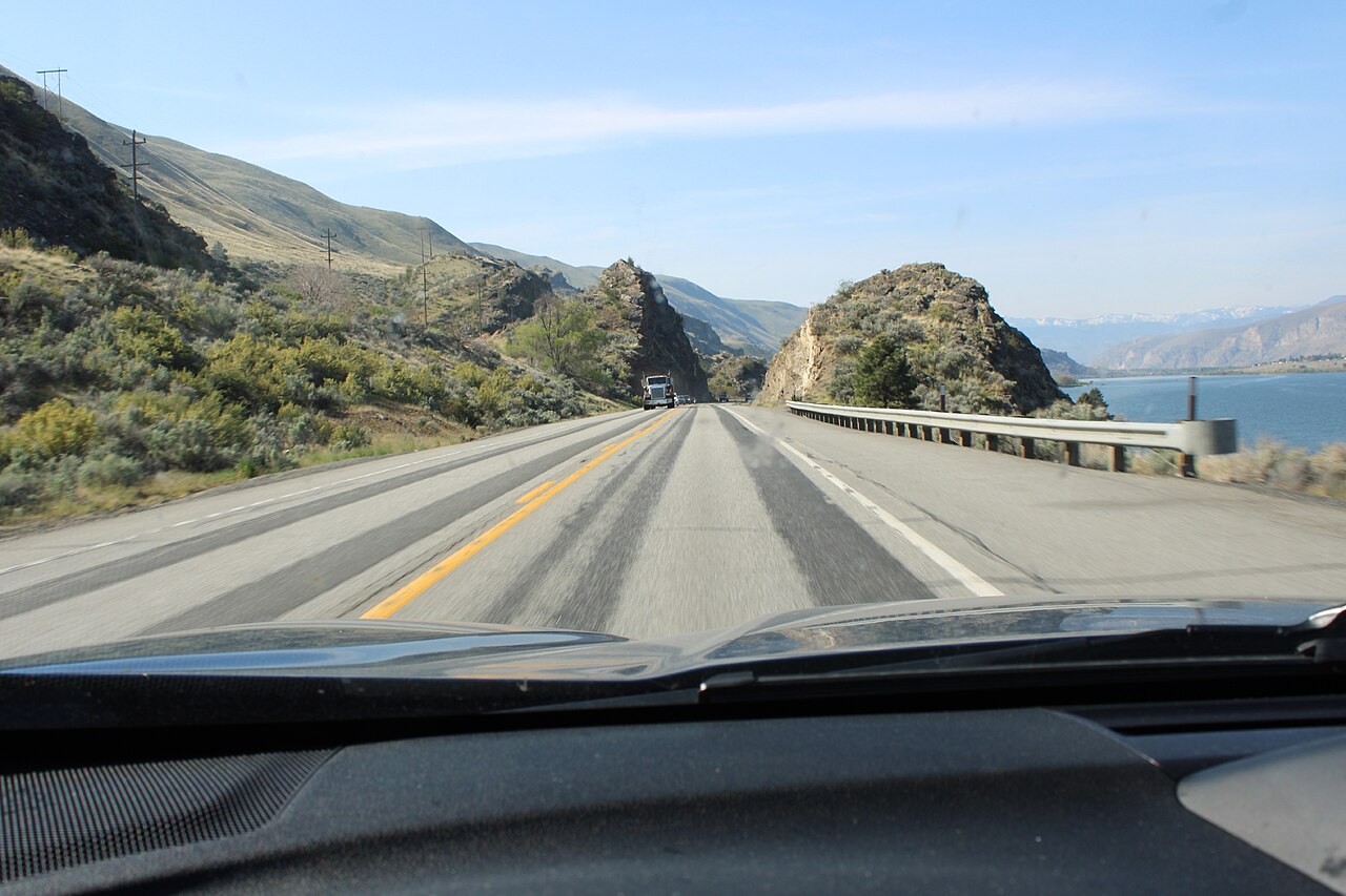
The Columbia River traces a 1,243-mile path from the glacial valleys of British Columbia's Rocky Mountain Trench to the Pacific Ocean, making it the largest waterway in the Pacific Northwest. Its headwaters sit at Columbia Lake, roughly 2,690 feet above sea level, where the river first flows northwest through Windermere Lake, Invermere, and Golden before rounding the Selkirk Mountains in what locals call the Big Bend Country. After threading through Revelstoke and the Arrow Lakes, it crosses into Washington, where a dramatic C-shaped curve—also called the "Big Bend"—carves through central Washington. Ten to fifteen thousand years ago, the Missoula Floods sent water along a more direct southern route, carving the Grand Coulee; when the floods receded, the river settled into its current channel. The river then threads through the Cascade Range at a lower elevation than any other river, creating the spectacular Columbia River Gorge, before bending northwest near Portland and finally emptying into the Pacific.
Threads of Indigenous Life and Language
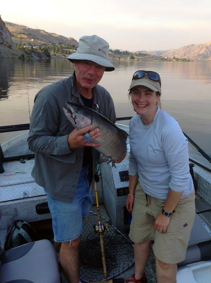
Long before any European vessel appeared on its waters, the Columbia and its tributaries served as the lifeblood of numerous cultural groups across the Pacific Northwest. The river system sustains anadromous fish—most critically salmon—that migrate between the Pacific's saltwater and the river's freshwater, and these fish formed the nutritional foundation for native communities for thousands of years. The waterway also functioned as a natural highway, linking disparate peoples and enabling the exchange of goods, stories, and kinship ties. The river carries multiple indigenous names that reflect this deep connection: Wimahl or Wimal in Upper Chinook, Nch'i-Wàna in Sahaptin, and swah'netk'qhu in the Sinixt dialect. Its drainage basin, roughly the size of France, stretches across seven U.S. states and one Canadian province, and its largest tributary, the Snake River, extends the network even further. For these communities, the river was never merely a geographic feature; it was a living artery of sustenance, movement, and identity.
First Encounters and the Age of Passage
The first recorded European sighting of the Columbia's mouth came in 1775, when Spanish explorer Bruno de Heceta spotted the river from the coast. Nearly two decades later, on May 11, 1792, Captain Robert Gray of Boston piloted the private vessel Columbia Rediviva into the river, becoming the first non-indigenous ship to enter its waters. That same year, British Royal Navy officer William Robert Broughton, commanding HMS Chatham on the Vancouver Expedition, pushed roughly 100 miles upriver past the Oregon Coast Range to what is now Vancouver, Washington. In the decades that followed, fur-trading companies adopted the Columbia as a vital transportation corridor, and overland explorers braved the scenic yet treacherous Columbia River Gorge to reach the Willamette Valley, where pioneer settlement grew steadily. Steamships later stitched together the river's communities and trade networks, and by the late nineteenth century, railroads running alongside the waterway reinforced those connections, transforming a natural passage into a commercial artery.
Engineering, Energy, and Ecological Consequences
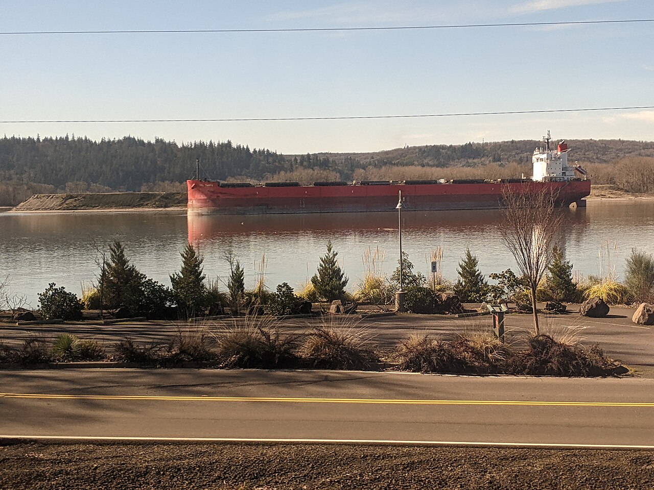
From the late nineteenth century onward, the Columbia became one of the most heavily engineered waterways in North America. Locks and dredging operations along the lower river and its tributaries opened and sustained shipping channels for barges and vessels. Beginning in the early twentieth century, a cascade of hydroelectric dams rose along the main stem and tributaries; the fourteen dams on the Columbia alone generate over 44 percent of all U.S. hydroelectric power. Two nuclear power sites also drew energy from the river, and for decades the Hanford Site produced plutonium for nuclear weapons, leaving it as the most contaminated nuclear facility in the country. These projects reshaped the river's ecology profoundly: industrial pollution accumulated in the watershed, and the dams erected physical barriers that disrupted the salmon migrations that had sustained indigenous peoples for millennia. Today, Hanford Reach remains the only stretch of the Columbia that is entirely free-flowing, unimpeded by any dam, and outside the tidal estuary—a rare and fragile remnant of the river's original character.
Gallery
Frequently Asked Questions
Who is Columbia River?
Columbia River is the largest waterway in the Pacific Northwest of North America, running 1,243 miles from the Rocky Mountains in British Columbia, Canada, all the way to the Pacific Ocean. For much of its length it doubles as the natural border between Washington and Oregon.
What are Columbia River's powers/role?
The river drains a basin of roughly 258,000 square miles and pushes about 7,500 cubic meters of water per second into the ocean at its mouth. Its anadromous fish runs have fed Indigenous peoples for thousands of years, and its channel has long served as a primary corridor for fur traders, explorers, and settlers.
How does Columbia River's story end?
After 1,243 miles of travel, the Columbia empties into the Pacific Ocean, completing its run from the Canadian Rockies. That mouth on the Pacific coast marks the western terminus of one of the continent's most consequential rivers.
Why is Columbia River important?
It has been the economic and cultural backbone of the Pacific Northwest for millennia, providing food, a transportation artery, and a political boundary. Its largest tributary, the Snake River, feeds a drainage system whose area is comparable to that of a small nation.
Who first discovered Columbia River?
Spanish explorer Bruno de Heceta made the first documented European sighting of the river in 1775. The first non-Indigenous vessel to actually enter its waters was Captain Robert Gray's Columbia Rediviva on May 11, 1792.
More in Rivers And Seas Of The World 1-24
Elsewhere in the Rivers And Seas Of The World universe
Spotted an error? Know more?
This is a living reference — every entry is fact-audited, and reader corrections feed straight into our audit queue. Suggest an edit · See this site's audit record