Amur
Major Northeast Asian river forming the Russia–China border.

I13Robin · CC BY 4.0
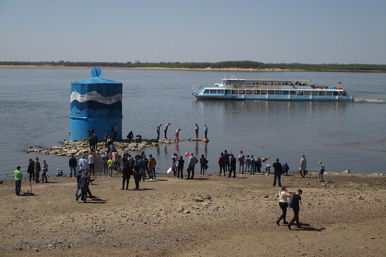
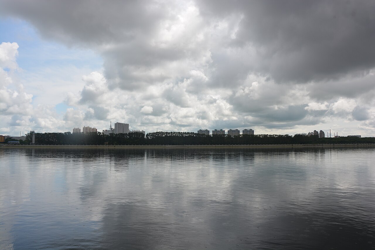
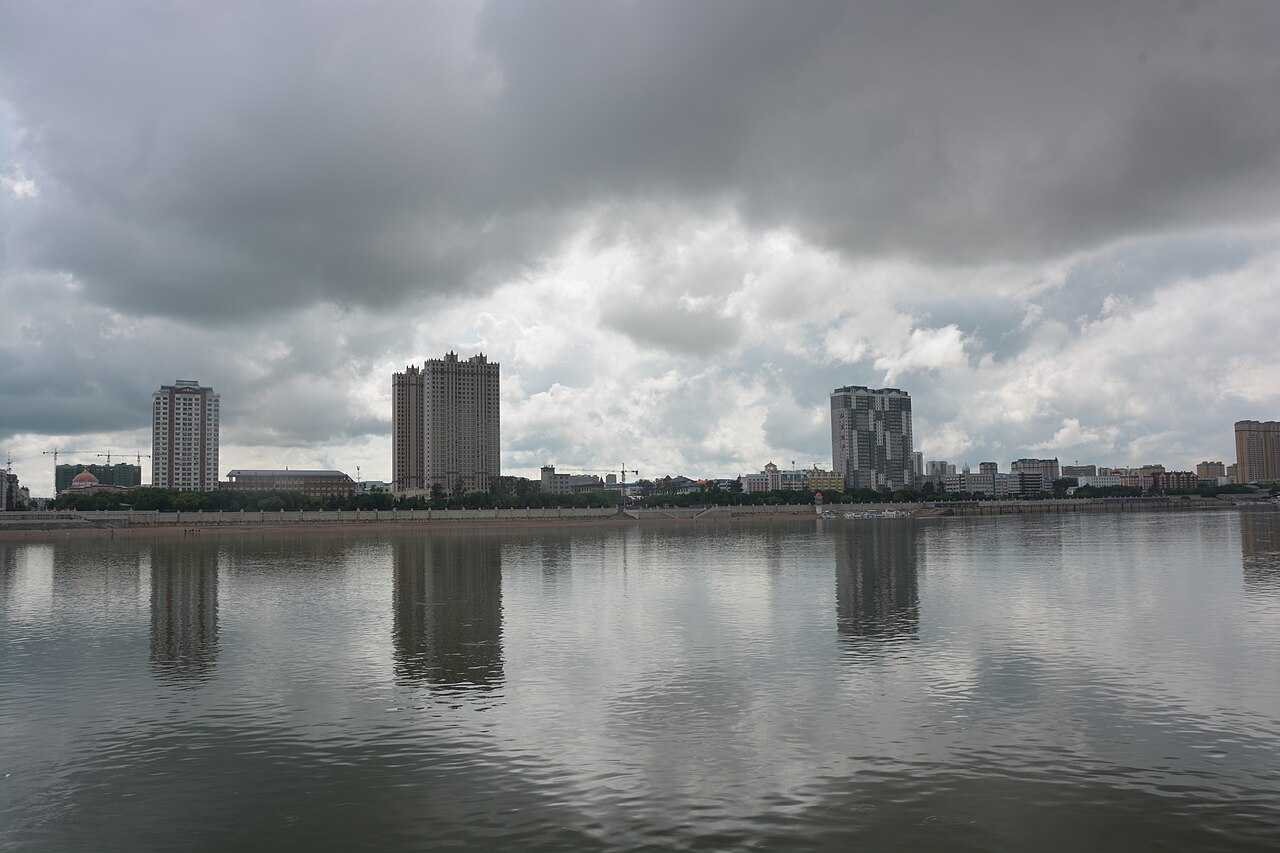
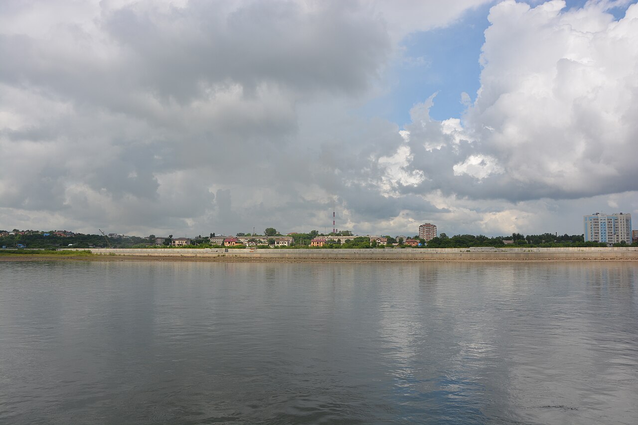
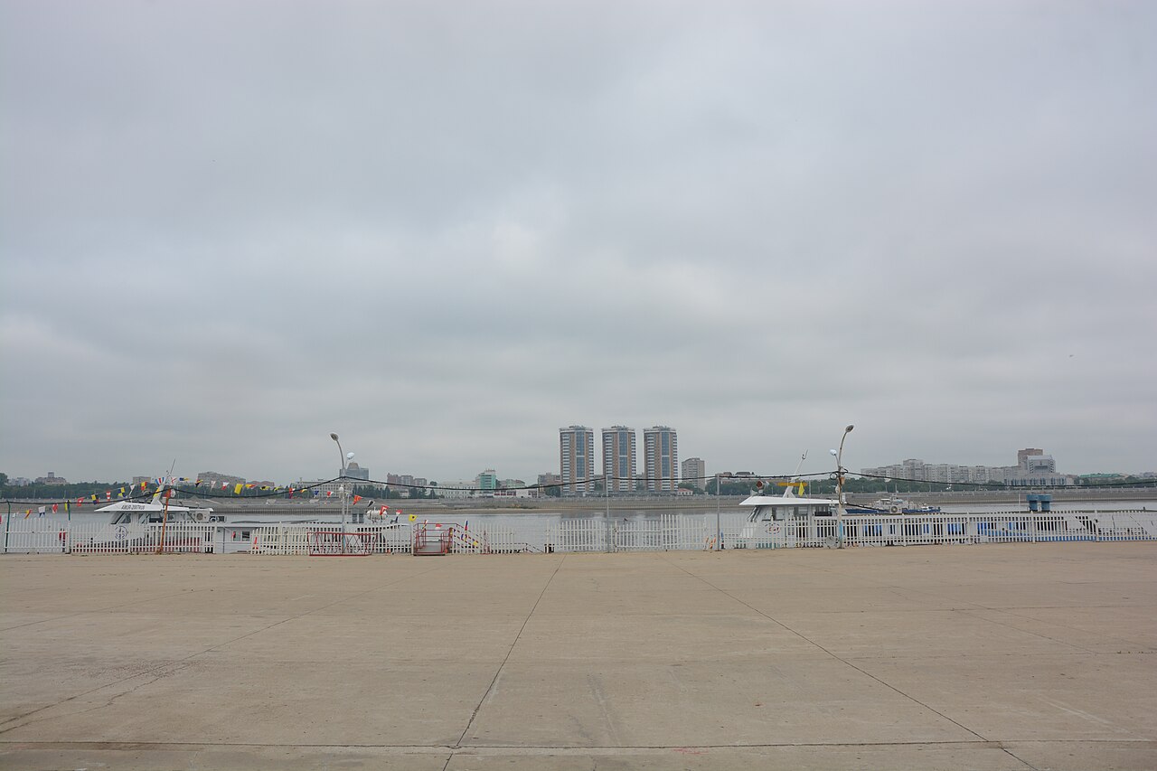
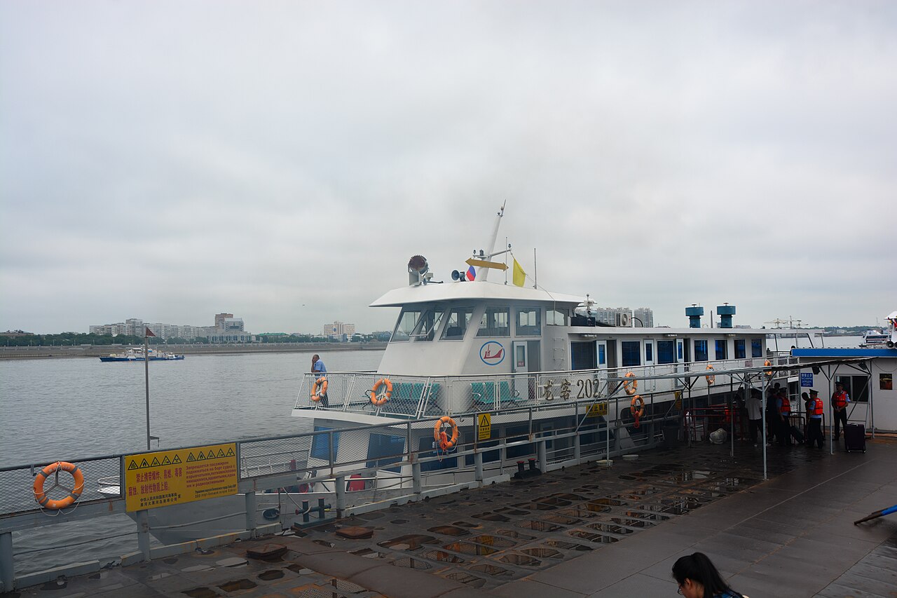
The Amur River (Russian: река Амур; Chinese: 黑龙江) is a perennial river in Northeast Asia that forms the natural border between the Russian Far East and Northeast China. It is historically significant as a geopolitical boundary and a vital waterway for the region's aquatic fauna and indigenous peoples.
- mouth
- Strait of Tartary
Lore & Background
The Amur rises at the confluence of the Shilka and Argun rivers on the border between Russia and China, flowing east to form the border. It arcs southeast past towns such as Huma, then widens near Blagoveshchensk and Heihe after receiving the Zeya tributary at Blagoveshchensk itself. Turning northeast at the Songhua confluence, it reaches Khabarovsk, where the Ussuri joins and the river ceases to define the border, then flows through a braided channel past Amursk and Komsomolsk-on-Amur before entering the Strait of Tartary at an estuary near Nikolayevsk-on-Amur. The river's name has disputed origins: possibly from Evenki 'amur' or Even 'amar' meaning 'river', or from Dagur 'mur' meaning 'big river'. Ancient Chinese names include Yushui, Wanshui, and Heishui ('black water'), the basis for the modern Chinese name Heilongjiang ('Black Dragon River'). The Manchu name is Sahaliyan Ula ('Black River'). Historically, the Amur Valley was home to Tungusic peoples (Evenki, Solon, Ducher, Jurchen, Nanai, Ulch), Mongols (Daur), Ainu, and Nivkhs, who relied on fishing. The Mongols (Yuan dynasty) had a military presence on the lower Amur in the 13th–14th centuries.
Reader's Guide
The Amur River is a defining geographical and geopolitical feature of Northeast Asia, serving as a natural border between Russia and China for much of its course. Its significance extends beyond politics: the river supports a rich aquatic ecosystem, including large predatory fish such as the kaluga sturgeon, one of the largest freshwater fish in the world, as well as northern snakehead, Amur pike, taimen, and several salmonids. The Amur also hosts the northernmost populations of the Amur softshell turtle and Indian lotus. Historically, the river was a frontier for competing empires—Mongol, Ming, Qing, and Russian—and its control shifted through treaties. Indigenous groups such as the Nanai, Ulch, and Nivkhs traditionally relied on its fisheries. The river's name reflects linguistic diversity, with uncertain origins in Tungusic or Mongolic languages. Today, the Chinese province of Heilongjiang and the Russian Amur Oblast derive their names from the river, underscoring its enduring importance as a cultural and administrative marker.
Did You Know?
- The Amur River is home to the kaluga, a sturgeon that can reach 5.6 m (18 ft) in length, one of the largest freshwater fish in the world.
- The river's name may derive from the Evenki word 'amur' or Even 'amar', both meaning 'river', or from the Dagur word 'mur' meaning 'big river'.
- The Ming dynasty sent expeditions to the lower Amur in the early 15th century, rebuilding the Yongning Temple at Tyr.
The River's Dramatic Journey
The Amur begins at roughly 303 metres elevation, where the Shilka and Argun rivers converge in the hilly west of Northeast China. From that modest origin the waterway carves an extraordinary path. It first traces the China–Russia boundary heading east, then sweeps in a broad 400-kilometre arc toward the southeast, gathering tributaries and threading past small settlements. Between Blagoveshchensk and Heihe the channel widens as the Zeya pours in, and the river bends southward before hooking east again at the Bureya. Nearly 250 kilometres pass without a major feeder until the Songhua arrives at Tongjiang, after which the Amur pivots northeast toward Khabarovsk. There the Ussuri joins and the river ceases to mark a national border. It unfurls into a sweeping braided expanse through a wide valley in eastern Russia, narrows once more near the Amgun confluence, and finally swings sharply east to empty through the Nikolayevsk-on-Amur estuary into the Strait of Tartary. In unusually wet years, overflow from the normally landlocked Hulun Lake spills through the Mutnaya Protoka arroyo into the Argun, stretching the entire Kherlen–Argun–Amur system to over 5,000 kilometres.
A Living Aquatic World
The Amur basin supports one of the most remarkable assemblages of freshwater life in all of Northeast Asia. Its waters shelter a roster of large predatory species—northern snakehead, Amur pike, taimen, Amur catfish, predatory carp, and yellowcheek—alongside several kinds of trout and anadromous salmonids that migrate between the river and the sea. The undisputed giant of the system is the kaluga, a sturgeon that can reach a length of 5.6 metres, making it one of the largest freshwater fish on the planet. Beyond fish, the river sustains the northernmost known populations of the Amur softshell turtle and the Indian lotus, both species that push the geographic limits of their respective ranges. For centuries, fishing in the Amur and its numerous tributaries served as the principal livelihood of the indigenous peoples who lived along its banks, a relationship that shaped their cultures, trade networks, and seasonal movements long before European or Han Chinese contact brought wider attention to the valley.
A Name in Many Tongues
The true origin of the name Amur remains uncertain, and scholars have proposed at least two competing explanations. One theory traces it to the Tungusic languages: the Evenki word amur or the Even word amar, both meaning simply river. Yet it is still debated whether Russian absorbed the term from those Tungusic speakers or whether the reverse borrowing occurred. A second hypothesis links the name to the Dagur word mur, a Mongolic term for big river. The river's Chinese identity is equally layered. Ancient designations included Yushui, Wanshui, and Heishui—the last meaning black water, which evolved into the modern Heilongjiang, or Black Dragon River. The Manchu people, who regarded the waterway as sacred, called it Sahaliyan Ula. Mongolian speakers used Amar mörön, where Amar connotes rest, and Khar mörön, meaning Black River. Each name encodes a different culture's relationship with the same vast, dark-flowing body of water.
Centuries of Human History Along the Banks
Long before European maps or Han Chinese chronicles recorded the valley, the Amur was home to a mosaic of indigenous peoples: Tungusic groups such as the Evenki, Solon, Ducher, Jurchen, Nanai, and Ulch; the Mongolic Daur; scattered Ainu; and, near the estuary, the Nivkhs. For many of these communities, fishing in the river and its tributaries was the backbone of daily life. The Nanai and related groups earned the Chinese-language nickname Fish-skin Tatars because of their traditional garments fashioned from fish skins. The Mongol Yuan dynasty left a tenuous military footprint on the lower Amur during the 13th and 14th centuries, with temple ruins later excavated near the village of Tyr. In the early 15th century, Ming eunuch Yishiha led repeated expeditions to Tyr between 1411 and the early 1430s, rebuilding the Yongning Temple twice and securing at least nominal allegiance from the lower Amur tribes. A Ming fort also stood at Aigun for roughly two decades. Centuries later, the river became a flashpoint during the Sino–Soviet split of 1956–1966, cementing its role as a living symbol of Chinese–Russian relations.
Gallery
Frequently Asked Questions
What is the Amur River?
The Amur is a major perennial river in Northeast Asia, also called Heilongjiang in Chinese. It is best known for serving as the natural boundary between Russia's Far East and northeastern China.
Where does the Amur River empty?
The Amur discharges its waters through the Strait of Tartary into the Sea of Japan. This makes it one of the key inland-to-Pacific waterways in the region.
Which two countries does the Amur separate?
The river forms the international border between the Russian Far East and Northeast China. That boundary role has shaped centuries of territorial negotiations between the two nations.
Why is the Amur historically significant?
Beyond its border function, the Amur has long been a vital waterway for indigenous communities and a corridor of rich aquatic life. Its strategic position made it a focal point of Russian and Chinese territorial disputes over many centuries.
What ecological role does the Amur play?
As a perennial river, it sustains diverse fish populations and supports the livelihoods of peoples living along its banks. It functions as a critical ecological corridor linking inland wetlands to the Sea of Japan.
More in Rivers And Seas Of The World 1-24
Elsewhere in the Rivers And Seas Of The World universe
Spotted an error? Know more?
This is a living reference — every entry is fact-audited, and reader corrections feed straight into our audit queue. Suggest an edit · See this site's audit record