Brahmaputra River
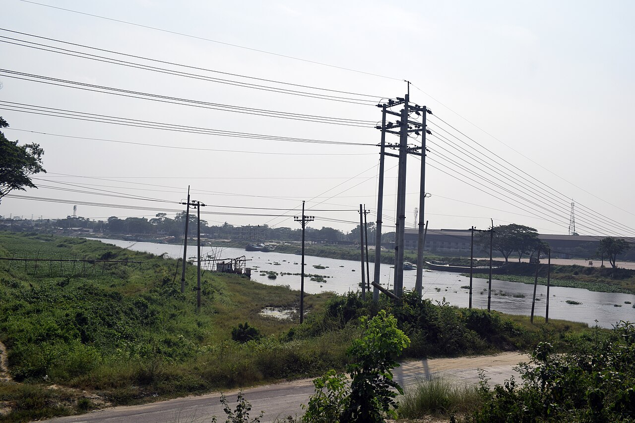
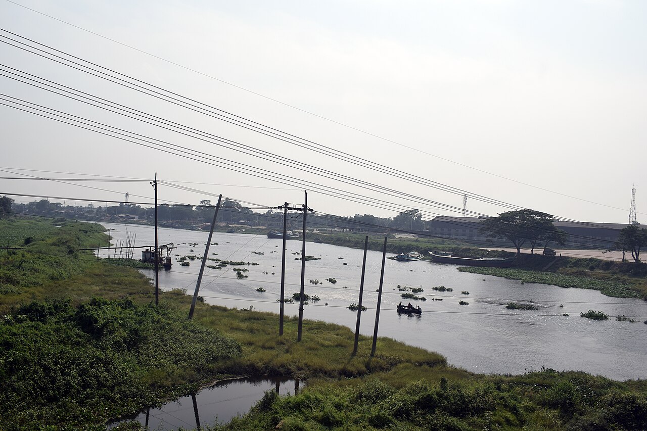
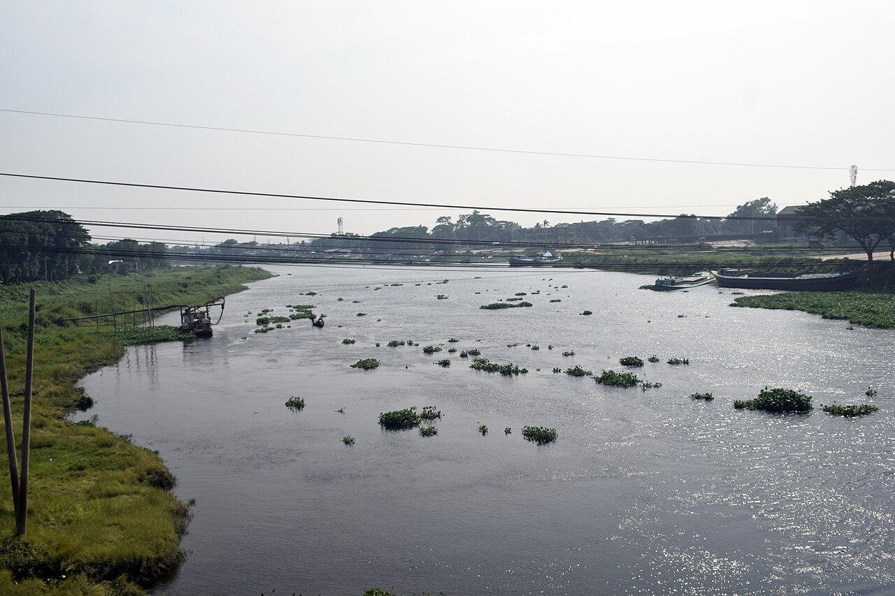
A trans-boundary river sacred to Hindus, known for its braided course.

ThePerfectYellow · CC BY 4.0
The Brahmaputra is a trans-boundary river which flows through Southwestern China, Northeastern India, and Bangladesh. By itself, it is the 9th largest river in the world by discharge, and the 15th longest. At 3,000 km (1,900 mi) long, it is an important river for irrigation and transportation in the region. The lower reaches are sacred to Hindus, and while most rivers on the Indian subcontinent have female names, this river has a rare male name — Brahmaputra means "son of Brahma" in Sanskrit.
- length
- 3,000 km (1,900 mi)
- average_depth
- 30 m (100 ft)
- maximum_depth
- 135 m (440 ft) at Sadiya
- average_discharge
- ~22,000 m³/s (780,000 cu ft/s)
- flood_discharge
- ~103,000 m³/s (3,600,000 cu ft/s)
- origin
- Manasarovar Lake region, near Mount Kailash, Burang County, Tibet
- outflow
- Bay of Bengal via the Meghna River
Lore & Background
The Brahmaputra originates in the Manasarovar Lake region, near Mount Kailash, on the northern side of the Himalayas in Burang County of Tibet, where it is known as the Yarlung Tsangpo River. It flows along southern Tibet to break through the Himalayas in great gorges (including the Yarlung Tsangpo Grand Canyon) and into Arunachal Pradesh. It enters India near the village of Gelling in Arunachal Pradesh and flows southwest through the Assam Valley as the Brahmaputra and south through Bangladesh as the Jamuna (not to be confused with the Yamuna of India). In the vast Ganges Delta, it merges with the Ganges, popularly known as the Padma in Bangladesh, and becomes the Meghna and ultimately empties into the Bay of Bengal. The Brahmaputra's upper course was long unknown, and its identity with the Yarlung Tsangpo was only established by exploration in 1884–1886. The river is often called the Tsangpo-Brahmaputra river.
Reader's Guide
The Brahmaputra drains the Himalayas east of the Indo-Nepal border, south-central portion of the Tibetan plateau above the Ganga basin, south-eastern portion of Tibet, the Patkai hills, the northern slopes of the Meghalaya hills, the Assam plains, and northern Bangladesh. The basin, especially south of Tibet, is characterized by high levels of rainfall. Kangchenjunga (8,586 m) is the highest point within the Brahmaputra basin and the only peak above 8,000 m. The river is prone to catastrophic flooding in the spring when the Himalayan snow melts. The average discharge of the Brahmaputra is about ~22,000 m3/s (780,000 cu ft/s), and floods reach about 103,000 m3/s (3,600,000 cu ft/s). It is a classic example of a braided river and is highly susceptible to channel migration and avulsion. It is also one of the few rivers in the world that exhibits a tidal bore. It is navigable for most of its length. The average depth of the river is 30 m (100 ft) and its maximum depth is 135 m (440 ft) (at Sadiya).
Did You Know?
- The Brahmaputra is one of the few rivers in the world that exhibits a tidal bore.
- It is a classic example of a braided river and is highly susceptible to channel migration and avulsion.
- The Brahmaputra's upper course was long unknown, and its identity with the Yarlung Tsangpo was only established by exploration in 1884–1886.
- While most rivers on the Indian subcontinent have female names, the Brahmaputra has a rare male name, meaning 'son of Brahma' in Sanskrit.
- The Brahmaputra alone supplies about 50% of the total discharge of the Ganges–Brahmaputra–Meghna system, which has the second-greatest average discharge of the world's rivers.
A River Carved Before the Mountains
The Brahmaputra's most striking geographic feature is that it predates the Himalayas themselves. This antecedent river had already been flowing when the great mountain range began its uplift, and it has since cut itself deeply into the rock, producing one of the most dramatic courses of any major waterway on Earth. From its source on the Angsi Glacier near Mount Kailash in Burang County, the stream runs roughly 1,100 kilometers eastward between the main Himalayan range and the Kailas Range. Then, near the town of Pi, it executes a sudden turn northward and northeastward, threading through a succession of narrow gorges between the Gyala Peri and Namcha Barwa massifs. The river then swings south and southwest, plunging through the Yarlung Tsangpo Grand Canyon, where walls rise more than 5,000 meters on either side. It crosses the China-India line of actual control into Arunachal Pradesh, where it is called the Siang or Dihang, before making a rapid descent into the plains. Below the confluence with the Dibang and Lohit rivers, it finally assumes its familiar name and spreads to a width of up to 20 kilometers across the Assam Valley.
Power, Flood, and the Braided Plain
The Brahmaputra is a river of extraordinary hydraulic force. With an average discharge of roughly 22,000 cubic meters per second, it ranks ninth in the world by volume of flow, and during spring floods driven by the melting of Himalayan snowpack, its discharge can surge to approximately 103,000 cubic meters per second. The average depth is 30 meters, but at Sadiya the channel plunges to a maximum of 135 meters. Despite this volatility, it remains navigable for most of its length and serves as a vital artery for irrigation and transport. Remarkably, the lower reaches also exhibit a tidal bore, a phenomenon shared by only a handful of rivers worldwide. At 3,000 kilometers in total length, the Brahmaputra is the fifteenth longest river on the planet, threading through Southwestern China, Northeastern India, and Bangladesh before merging with the Ganges in the vast delta and emptying into the Bay of Bengal as the Meghna.
Many Names, One Identity
Few rivers carry as many identities as this one. In Assamese it is Brôhmôputrô, in Tibetan Yarlung Tsangpo, in the Mishmi language Siang or Dihang, and in Bangladesh it is the Jamuna, distinct from India's Yamuna. The Sanskrit name Brahmaputra translates to "Son of Brahma," a masculine designation that is unusual among the rivers of the Indian subcontinent, where female names are the norm. The lower reaches hold particular sanctity for Hindus. For centuries, the upper course remained a mystery; it was not until explorations between 1884 and 1886 that scholars confirmed the Yarlung Tsangpo and the Brahmaputra were the same waterway, giving rise to the combined name Tsangpo-Brahmaputra. The river is also sometimes called the "red river of India" when the full length including the Tibetan stretch is referenced. In Chinese it appears as Yǎlǔzàngbù Jiāng, and in Wylie transliteration as yar klung gtsang po. This multiplicity of names mirrors the river's trans-boundary journey and the many cultures it has shaped over millennia.
A Vast Basin of Peaks and Rain
The Brahmaputra's drainage basin is one of the most geographically diverse on the subcontinent. It collects waters from the Himalayas east of the Indo-Nepal border, the south-central and southeastern portions of the Tibetan Plateau above the Ganga basin, the Patkai Hills, the northern slopes of the Meghalaya Hills, the Assam plains, and northern Bangladesh. Within this enormous catchment, Kangchenjunga at 8,586 meters stands as the highest point and the only peak exceeding 8,000 meters. The basin, particularly south of Tibet, receives high levels of rainfall, feeding a network of rapidly flowing Himalayan tributaries. In the Tibetan upper reaches, key left-bank tributaries include the Raka Zangbo and the Lhasa River, while the Nyang River joins from the north. In Assam, the Brahmaputra receives streams such as the Subansiri, Kameng, Bharali, Dhansiri, Manas, and Champa. The confluence of the Dibang and Lohit with the Dihang at the head of the Assam Valley marks the point where the river is conventionally named Brahmaputra, roughly 1,450 kilometers from the Bay of Bengal.
Gallery
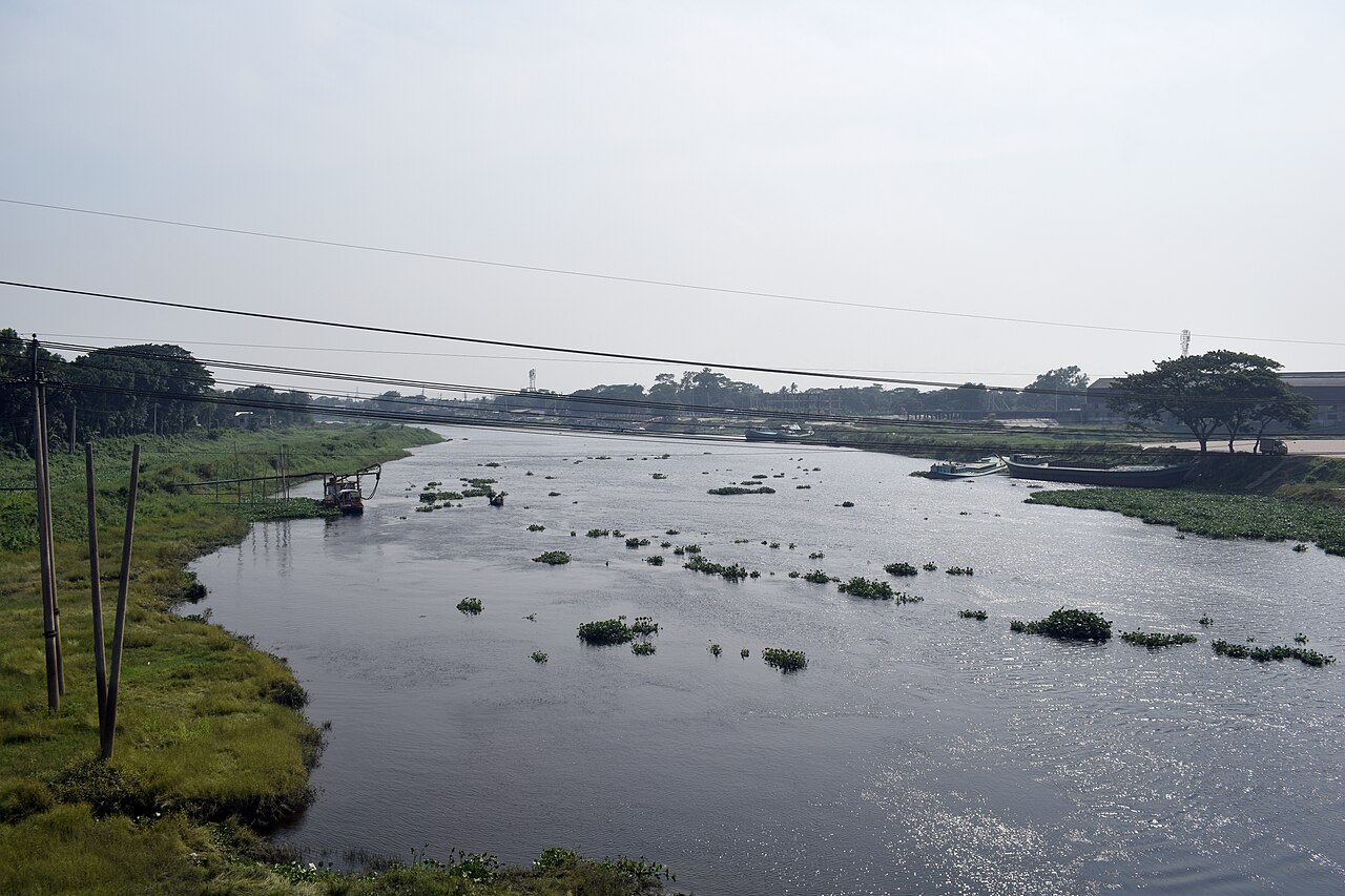
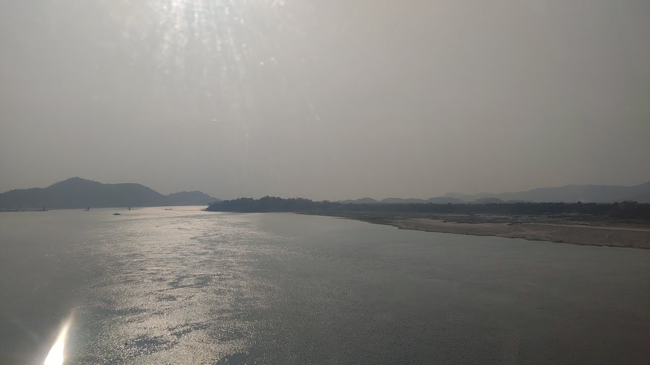
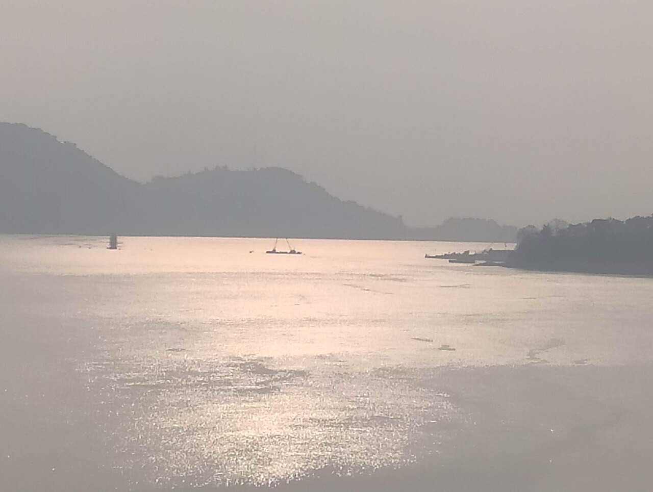
Frequently Asked Questions
What is the Brahmaputra River?
The Brahmaputra is a major trans-boundary river threading through Southwestern China, Northeastern India, and Bangladesh. It ranks as the 9th largest river in the world by water discharge and the 15th longest.
Where does the Brahmaputra originate?
The river's source lies in the Manasarovar Lake region near Mount Kailash in Burang County, Tibet. From there it travels roughly 3,000 kilometers before emptying into the Bay of Bengal.
What are the Brahmaputra's key physical measurements?
The river averages about 30 meters in depth but plunges to 135 meters at Sadiya, and its mean discharge sits near 22,000 cubic meters per second. During peak monsoon floods that figure can surge to roughly 103,000 cubic meters per second.
Why is the Brahmaputra considered important?
Beyond serving as a critical lifeline for irrigation and river transport across three countries, the Brahmaputra holds deep sacred significance in Hindu tradition. Its enormous seasonal flooding also shapes the agricultural cycles of millions of people along its banks.
What makes the Brahmaputra's course distinctive?
The river is well known for its braided channel pattern, where the main flow splits into multiple interlacing streams separated by shifting sandbars. This woven appearance is especially pronounced in the lower reaches as the river crosses through Bangladesh.
More in Rivers And Seas Of The World 1-24
Elsewhere in the Rivers And Seas Of The World universe
Spotted an error? Know more?
This is a living reference — every entry is fact-audited, and reader corrections feed straight into our audit queue. Suggest an edit · See this site's audit record